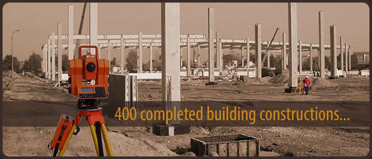
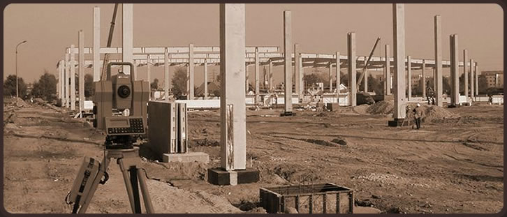
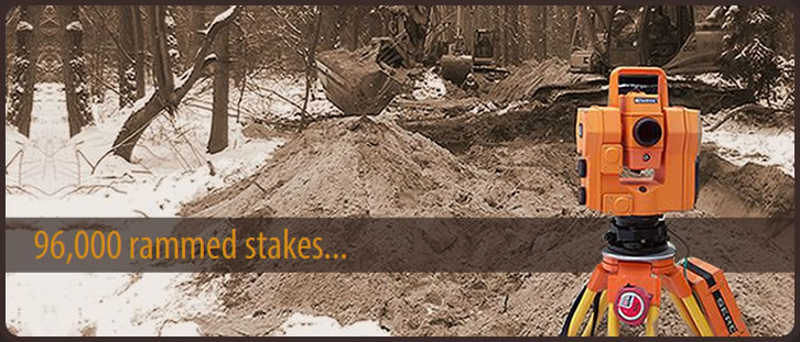
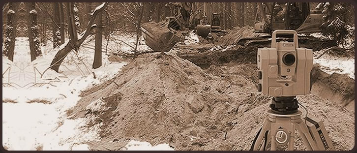


Offer for investors, general contractors, subcontractors and specialised companies in every field of construction. Geodetic services in the field of investments from concept through design and implementation to final delivery and acceptance.
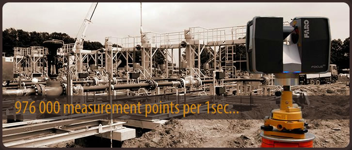
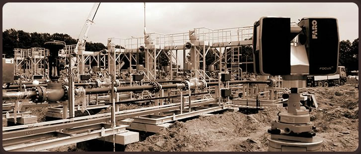
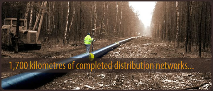
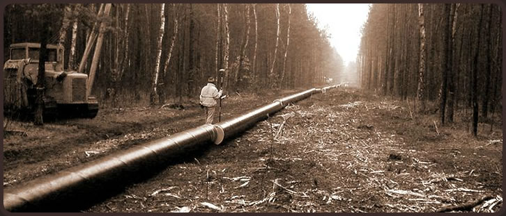
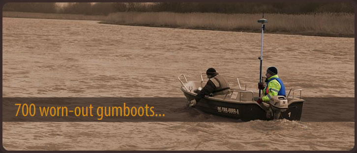
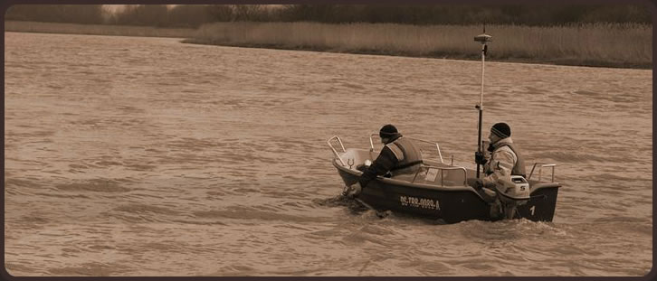
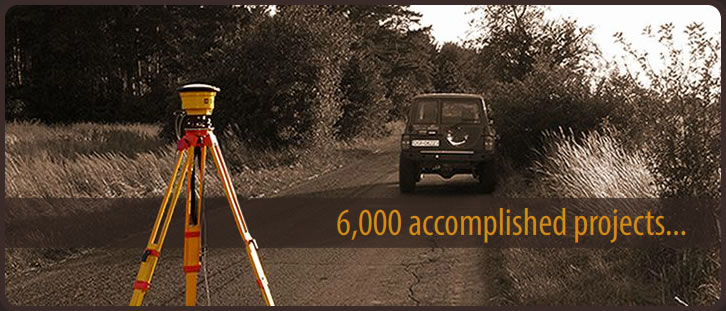
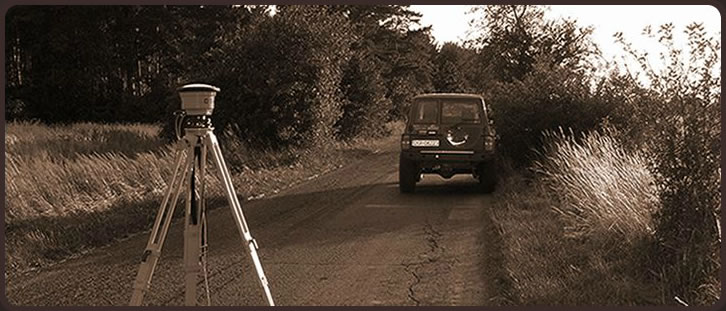
Services in the field of line investments: gas pipelines, petroleum pipelines, heating, energy, telecommunication networks, etc.
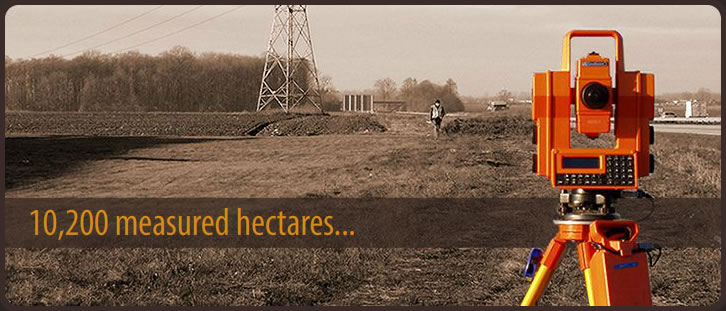
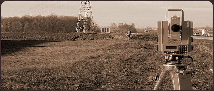
Maps for design purposes, property divisions, setting out routes, servicing construction sites, as-built...
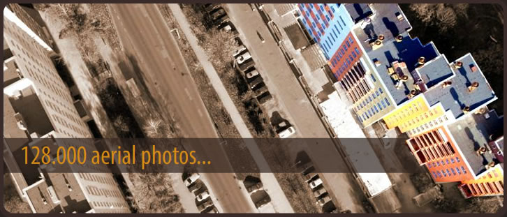
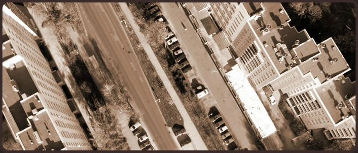
Full support for large and small design and project offices. Maps for design and project purposes, architectural - construction inventories, 3D laser scanning, photogrammetric studies, aerial photography, etc.
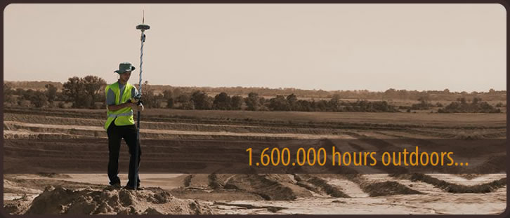
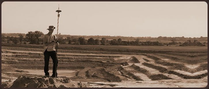
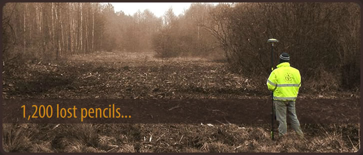
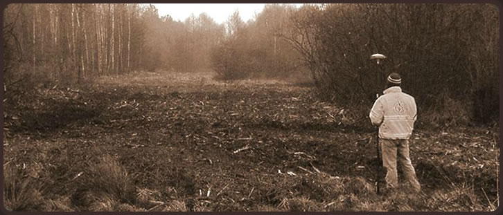
Comprehensive services for open-pit mining works in the field of mining surveying. Surveying inspections, mapping and topographic surveys, measurements and calculations in the scope of excavations and dumps, implementation and inventory works, etc.
State-of-the-art measuring technologies in restoration of monuments. 3D laser scanning, digital terrestrial photogrammetry and short-and l
Examination of the legal status of real estates, maps for design and project purposes, setting-out, as-built measurements, recovery of border signs, property divisions, preparing documents for legal purposes, etc.